As a result of climate change, plants have been competing for dominance in the tundra. In some regions, there is a green invasion of once bare places. Satellites have been of much help in studying what goes on in the arctic, but their images and signals are not detailed enough. Hence, the need for drones.
The climate in the tundra is variable, and because of the distance of the satellites, the angles of the images may not give sufficient information. Also, the sunlight may cast shadows on the images making it impossible to adequately study and interpret information.
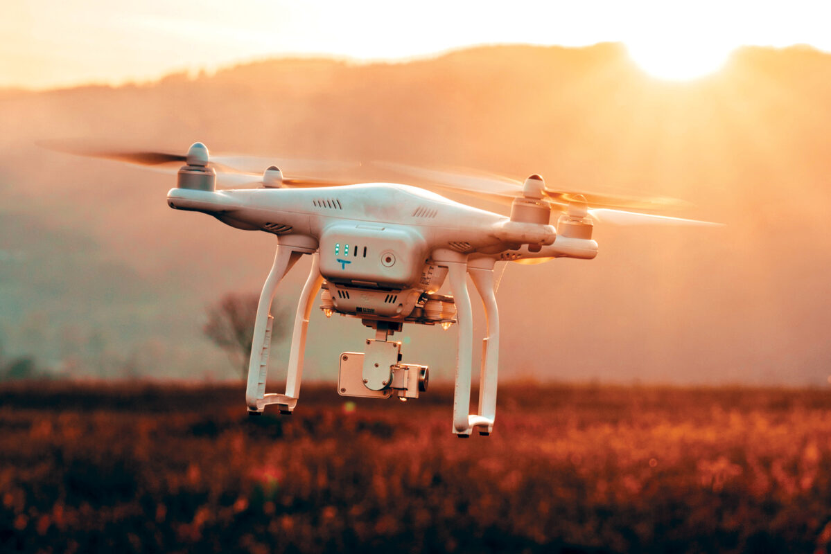
This is where drones come in handy. Drones have the advantage of proximity and can take clear pictures of the plants. They even capture them from different angles to make a 3D model for better observation. Field measurements are not sufficient to give a full picture and correlating the satellite signals with the field records has proved to be almost impossible.
Evaluation of the plants on a large-scale as with satellites makes it harder to identify plant biomass because it does not distinguish the different types of plants. The use of drones coupled with greenness measures can supply an unparalleled chance to properly monitor tundra greenness.